
Earth Vegetation Index
 Image
ImageRes:
Image:
Low Res Med Res Hi Res 4KSource: NASA Earth Observations
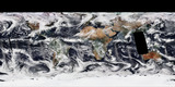
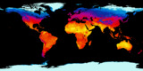
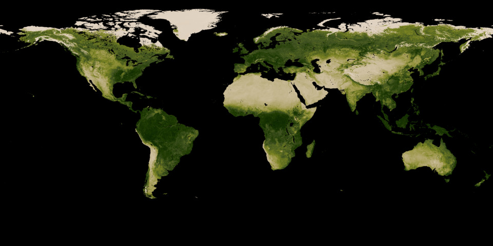
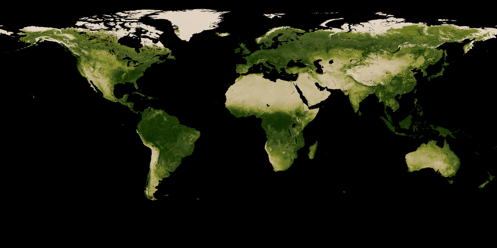
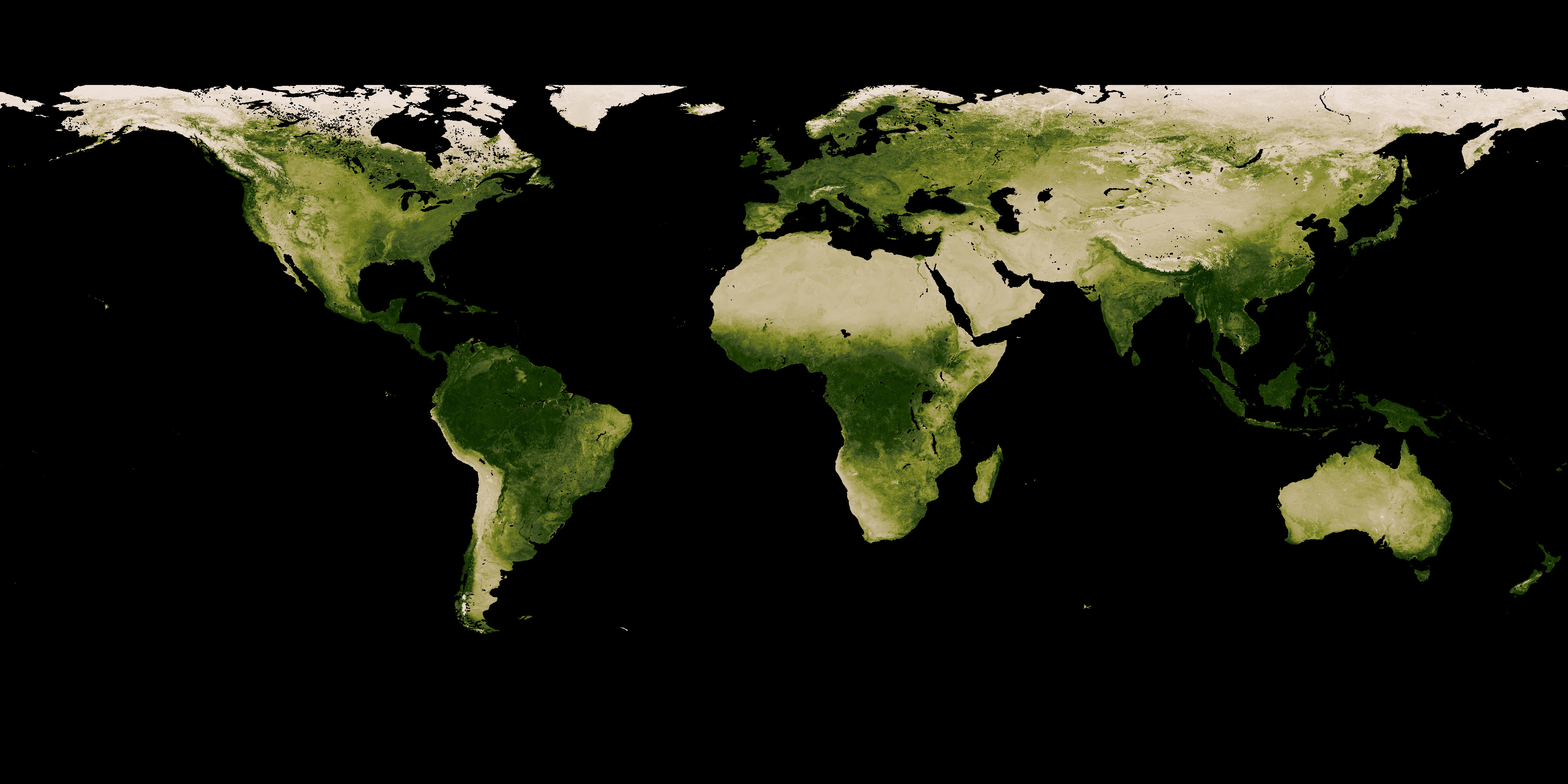
This map shows the density of vegetation around the world. The darkest areas have heavy vegetation coverage, while the lightest areas have virtually none. This data is an aggregate of observations taken over the last month.
Related Feeds
More Earth Feeds
Feed Properties
ID: EaVeIn_VegetationIndex
Type: Image
Updates: Daily
Resources:
Image/Data Usage:
NASA's NEO images are freely available for public use without further permission as long as credit is given. See neo.gsfc.nasa.gov/about/
