
Earth Ocean Surface Temperature
 Image
ImageRes:
Image:
Low Res Med Res Hi Res 4KSource: NASA Earth Observations
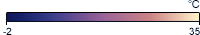
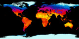
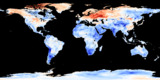
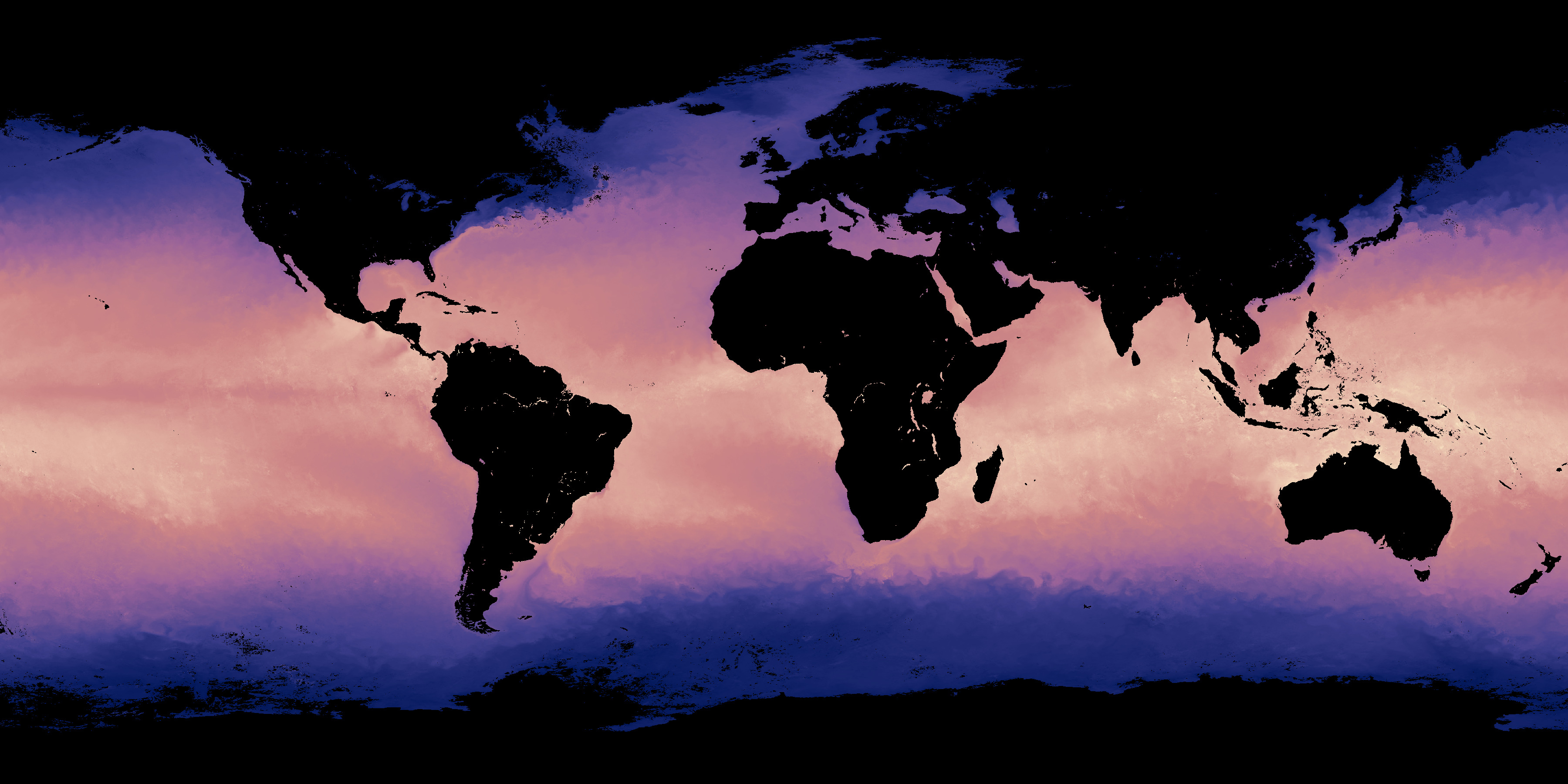
This map shows the temperatures of Earth's ocean surface. It measures the top millimeter of the ocean's water using instruments on NASA's Terra and Aqua satellites.
The satellites use a suite of instruments called the Moderate Resolution Imaging Spectroradiometer (MODIS). These instruments can measure the surface temperature to an accuracy of 0.5° C (0.9° F).
You can see where these satellite are right now on the orbit tracking pages: Aqua and Terra.
Data source: neo.sci.gsfc.nasa.gov
Related Feeds
More Earth Feeds

Feed Properties
ID: EaOST_OceanSurfaceTemp
Type: Image
Updates: Monthly
Resources:
Image/Data Usage:
NASA's NEO images are freely available for public use without further permission as long as credit is given. See neo.gsfc.nasa.gov/about/
