The Visible Infrared Imaging Radiometer Suite (VIIRS) is one of five main scientific instruments on a satellite called Suomi-NPP. This satellite is in a polar orbit 824 kilometers (512 miles) above the Earth.
Visible Infrared Imaging Radiometer Suite (VIIRS)
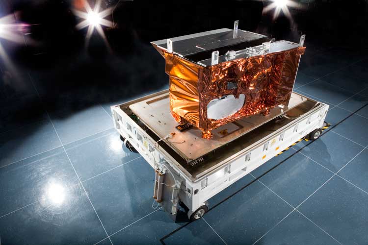
The VIIRS is a remote sensing device used for monitoring our planet. It collects data related to land, oceans and the atmosphere. It can take images in visible light (i.e. normal photographs) as well as infrared wavelengths. You can see the latest "true color" photograph of planet Earth in the "Related Feeds" below.
Some useful things VIIRS does:
- Provides data for weather, flooding and storm forecasting.
- Provides data for maritime operators (both commercial and research), including sea ice and ocean nutrients.
- Monitors vegetation coverage.
- Monitors fires and provides warnings as appropriate
- Measures sea surface temperature.